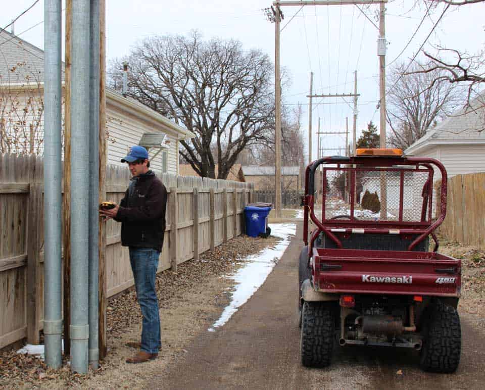
The Board of Public Utilities is contracting with Midland GIS Solutions to create an aerial image map of the primary electric system. Midland GIS Solutions, based out of Maryville, Missouri, is the largest full-service GIS firm in the Midwest. Using GPS, they will collect data to map the locations of all high voltage devices, such as power lines and poles. Midland GIS Solutions is also converting existing rural maps to display locations of electric meters. These detailed maps will improve operations at BPU.
Midland GIS Solutions employees will be in McPherson to gather data around town for the project beginning in March for six to eight weeks. Customers can expect to see workers driving Kawasaki Mules and collecting data near electrical equipment.
Upon completion of this project, BPU will evaluate the final result before deciding whether to map out the secondary electric system, which would show low voltage electric lines from the transformer to the house, and the water distribution system.
For questions regarding this project, please contact the BPU Warehouse at (620) 245-2560.